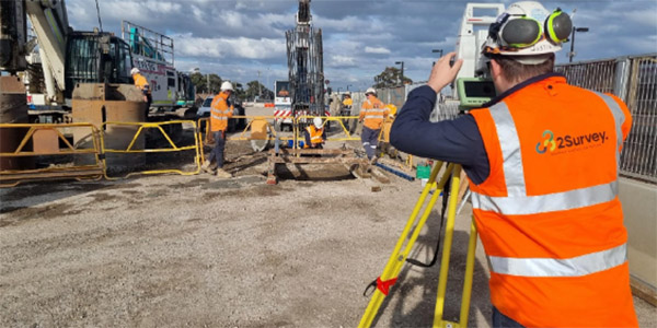
Engineering Surveying
Engineering Surveying and Survey Management of large-scale infrastructure projects including Rail, LXRP, MRPV and various Victorian Governmental projects such as Melbourne Water.
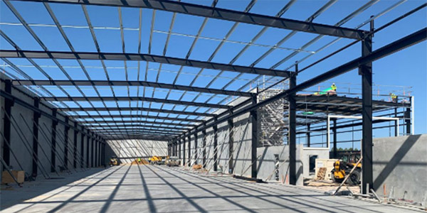
Industrial Construction
Surveying services including manufacturing, processing plants and factories - Footings, Precast Panels, Columns, Grid lines.
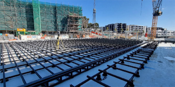
Commercial Construction
Complete surveying services for high rise commercial and residential developments.
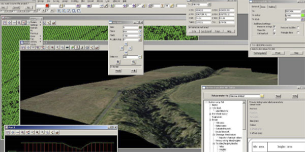
Data Preparation & Data Management
Latest 12d and 12d Synergy solutions for data prep and management for Structures, Bridges, Road, Drainage, Earthworks and Rail.
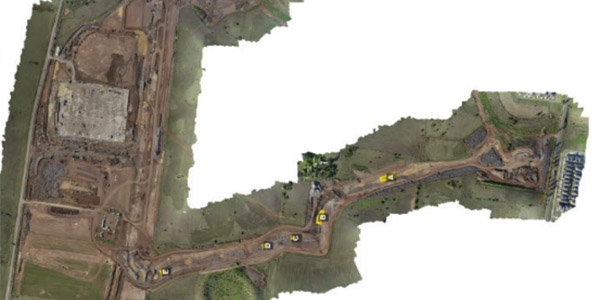
UAV / Laser Scanning
2Survey operate a fleet of DJI Phantom drones and Leica MS60 laser scanners, providing point cloud, ariel imagery and as well BIMs and traditional Cad deliverables.
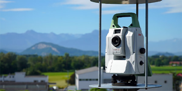
Control Networks / GPS Base Station Set Up / Monitoring Solutions
High accuracy project control solutions including control networks traverse and adjustments, level runs as well as well as lifecycle placement of prism solutions including targets, 360 prisms.
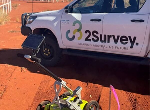
Under Ground Service Locating
As part of our comprehensive surveying and spatial services, 2Survey and 2Spatial also offer Underground Service Locating in line with Australian standards and Dial Before You Dig requirements.
Our experienced team uses non-destructive techniques and electromagnetic locating methods to accurately identify and mark the location of underground utilities, helping to reduce construction risk, avoid service strikes and ensure safe delivery of civil, rail and infrastructure projects.
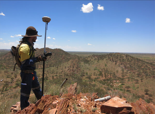
Licensed Boundary & Title Re-Establishment Surveys – Victoria & Northern Territory
Our licensed surveyors are registered with the Surveyors Registration Board of Victoria and the Surveyors Board of the Northern Territory, which authorises us to carry out cadastral boundary and title re-establishment surveys with full legal validity.