Licensed Surveys
Licensed Boundary & Title Re‑establishment Surveys
Licensed Boundary & Title Re-Establishment Surveys — Victoria & Northern Territory
Our licensed surveyors are registered with both the Surveyors Registration Board of Victoria and the Surveyors Board of the Northern Territory and are fully authorised to undertake cadastral boundary surveys that carry legal standing.
Services We Provide
- Title Re-Establishment Surveys – verification and physical marking of your legal property boundaries.
- Subdivision Surveys – measurement and division of land into multiple lots, with dimensions and boundaries defined on a registered survey plan for legal titling and development.
- Boundary Dispute Resolution Surveys – resolution of neighbour disputes or encroachments through accurate boundary determination
- Easement Surveys – Identification, measurement and formal definition of easements (such as drainage, access or service corridors) affecting a property. We accurately survey the physical location and extents of the easement and prepare certified plans to ensure they are correctly recorded on title and aligned with statutory requirements.
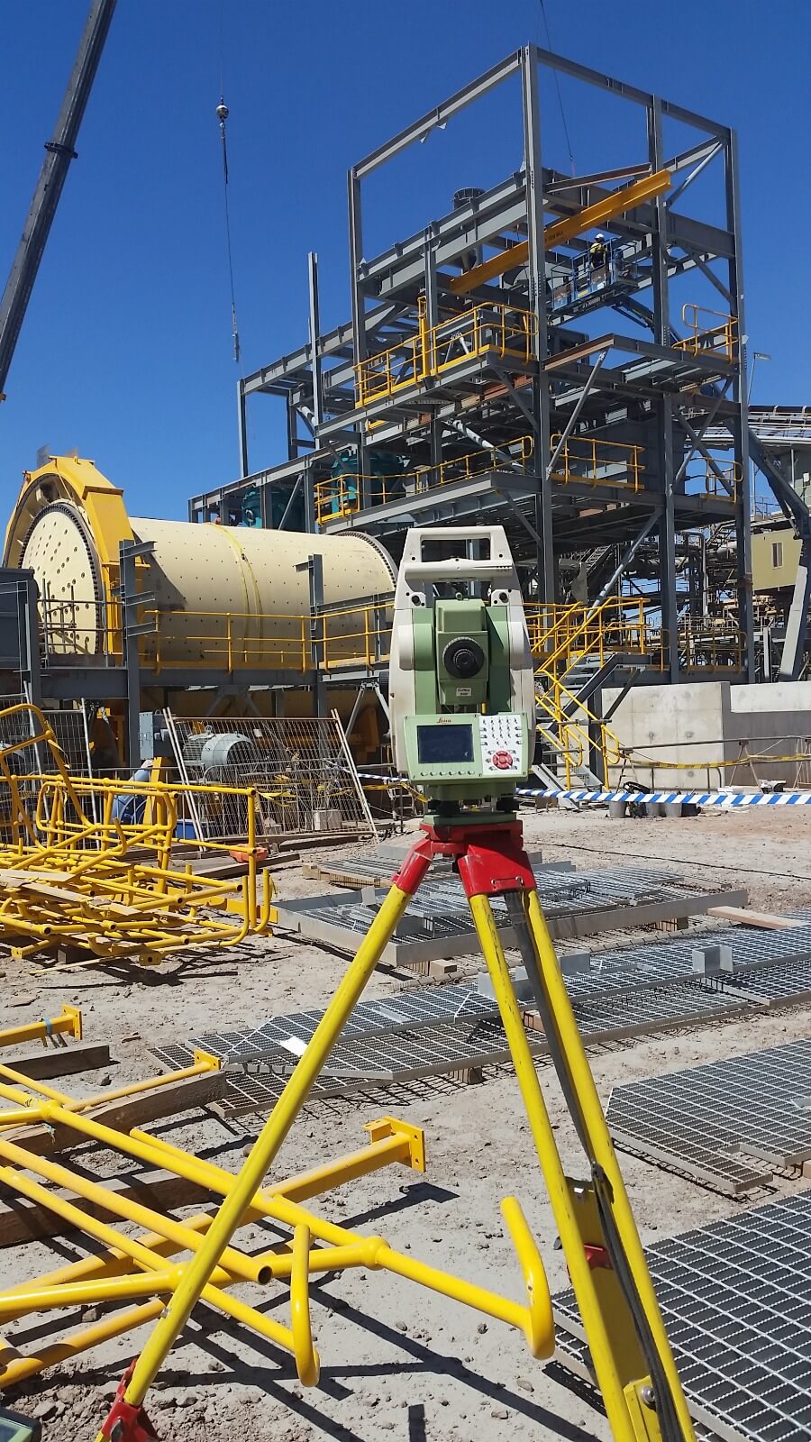
- Mining Lease Surveys – Survey and marking of lease boundaries for mining tenements in accordance with relevant state/territory legislation. This includes locating and pegging lease corners, preparing certified lease plans, and ensuring all survey data meets the strict lodgement requirements of the mining regulator and land titles office.

Why Choose Us?
- Only licensed surveyors are legally permitted to conduct boundary surveys in Victoria and the NT — we meet all statutory requirements.
- Strong local knowledge and on-ground experience, including in remote and challenging environments.
- A fully transparent end-to-end process: research & records review → on-site survey → certified plan preparation & lodgement → licensed surveyor’s certificate