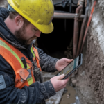
Whether you are planning a backyard extension in the suburbs or managing a large development, the land itself dictates what is possible. A topography survey acts as a bridge between your vision and the reality of the soil.
At 2Survey, we consider this the most important insurance policy a property owner can have. If you don’t know exactly how the land rises and falls, your project is a gamble, not a plan.
Before you risk a single dollar on a “maybe,” let’s dive into why a topographic survey is the secret weapon for a stress-free build.
1. Accurate Earthwork Calculations and Cost Control
Moving soil and rock is one of the most expensive parts of any construction project. If your plans don’t account for the actual slope of your block, you might find yourself needing thousands of dollars in unplanned retaining walls or extra excavation.
By getting a topographic survey early, you get an accurate picture of the terrain. This allows your builder to calculate the exact amount of earth that needs to be moved. A professional surveyor in Melbourne ensures these measurements are precise, turning a potential financial shock into a predictable part of your budget.
2. Hydrological Analysis and Effective Drainage Design
Water is the biggest threat to any building’s foundation. If your site drainage isn’t planned correctly, you risk dampness, mould, and even structural movement over time. A topography survey captures the exact contours of the land, showing exactly where water will flow during a heavy Australian downpour.
This data allows engineers to design drainage systems that work with the natural land. Because we often combine our findings with cadastral survey data, we can also ensure that your water runoff doesn’t negatively affect your neighbours, helping you avoid potential legal disputes down the road.
3. Boundary Verification and Legal Compliance
Building close to a boundary is common in modern developments, but it is a legal minefield. While a topographic survey shows what is on the land, a cadastral survey confirms where your property actually ends.
You do not want to discover that your new garage or fence is ten centimetres over the line after it has already been built. By using a topography to map physical features alongside the legal lines established by cadastral surveying, you create a “safe zone” for your construction. This is a standard part of our process at 2Survey to give our clients total peace of mind.
4. Identification of Utilities and Environmental Constraints
Your land isn’t just a space; it’s often a web of underground pipes, power lines, and protected trees. A high-quality topographic survey identifies these features so they can be included in your design rather than discovered by a bulldozer.
Hitting a utility line is dangerous and expensive. Furthermore, many local councils have strict rules about building near certain types of vegetation. By hiring a qualified surveyor in Melbourne, you ensure your site plan complies with the land’s physical assets and local regulations.
5. High-Precision Mapping for Topographically Challenging Sites
Not every building site is a flat rectangular block. For larger projects or difficult terrain, we often apply the same high-level accuracy used in mining surveying. Here, precision is a matter of safety and massive scale.
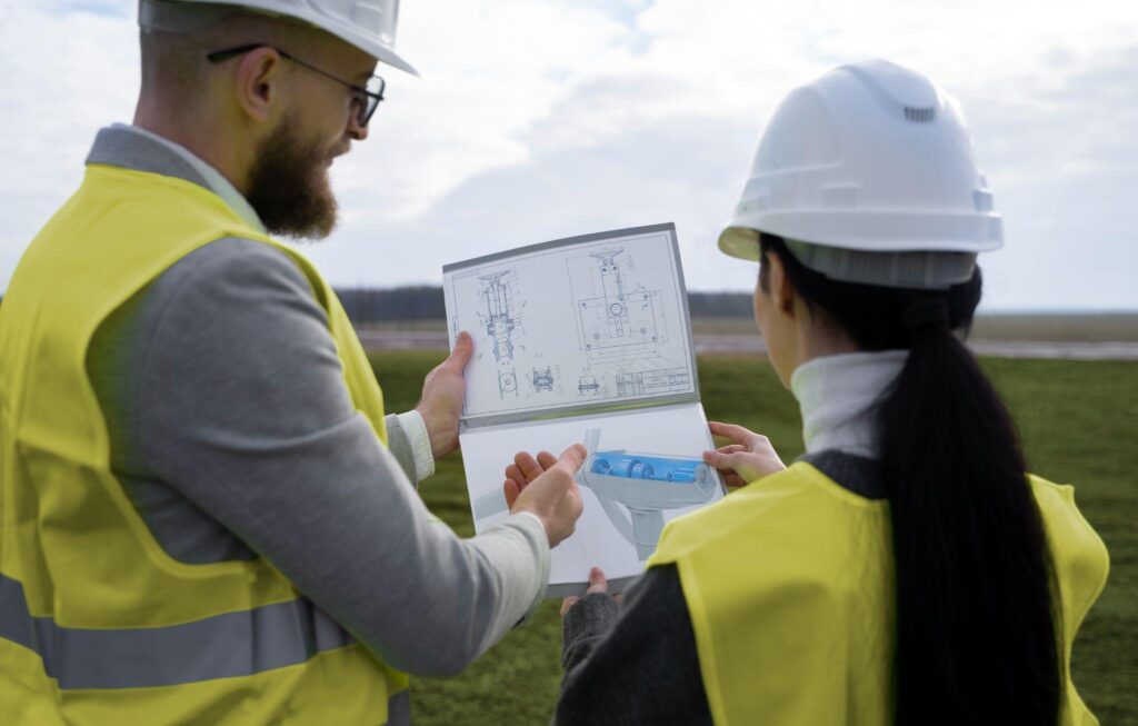
We bring that same technical mindset to your project. Whether it’s using 3D laser scanning or drone mapping, we treat your land with the technical depth it deserves. This ensures that even the most complex slopes are mapped with the kind of accuracy that modern architects demand.
6. Facilitating Regulatory Approvals and Permits
Most councils in Victoria and across Australia will not even look at a building application if it lacks a professional site analysis. They need to see how your building interacts with the land and the surrounding properties.
A topographic survey provides the documented proof that your project meets height limits and setback requirements. When you submit a survey from a reputable surveyor in Melbourne, it gives the council confidence in your plans, which often leads to a much faster approval process.
7. Post-Construction Verification and Quality Assurance
A topography survey isn’t just for the start of the job. Once the building is finished, it serves as the baseline for the “As-Built” survey. This is the final check to make sure everything was built exactly where the plans said it should be.
If you skip the initial topographic survey, you have no way to verify if the finished slab or drainage is correct. It’s a methodology we’ve perfected through our work in mining surveying and infrastructure: measure at the start, monitor the progress, and verify the result.
2Survey Difference
We believe that technology should make your life easier. That is why we use tools such as GPS systems and 3D scanning to deliver fast, accurate results. Whether we are conducting a cadastral survey to settle a fence line or a topography for a new home, our goal is to provide you with the “ground truth.”
If you need a reliable surveyor in Melbourne or anywhere in Australia, 2Survey is here to help. We understand the local landscape and the challenges builders face today.
Build on Facts, Not Guesses
The most expensive mistake you can make is assuming your land is “close enough” to the plan. A topographic survey gives you the facts. It allows your architect to be creative, your builder to be accurate, and you to be confident that your investment is protected.
By combining the legal protection of cadastral surveying with the technical precision of mining surveying, 2Survey ensures your project starts on solid ground. If you’re looking for a professional surveyor in Melbourne or need advice on your next project, reach out to us at 2Survey now.
Let’s map out your success together!
FAQs
Is a topographic survey different from a feature survey?
In Australia, they are usually the same thing. Both aim to map the levels, heights, and features of your land so your designer has a clear map to work from.
Do I really need one for a flat block?
Yes. No block is perfectly flat. Even a slight slope can change how water drains or how a concrete slab needs to be poured. A topographic survey removes the guesswork.
How does this relate to mining surveying?
While you might not be digging a mine, we use the same high-accuracy equipment and volume-calculating software used in mining surveying to ensure your site’s earthworks are calculated perfectly.
How long does the process take?
Most residential surveys are completed on-site in a few hours, with the final plans delivered shortly after. For larger or more remote areas, we use drone technology to speed up the process.
Why should I choose 2Survey?
2Survey combines years of experience with the best technology available. From cadastral surveying to complex site analysis, we provide the data you need to build with confidence.