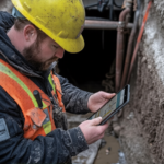
Imagine completing an engineering project with full confidence. You haven’t worried about any delays, and there is no safety risk hiding under the ground. This kind of confidence comes from underground service locating surveys. Knowing what lies beneath the ground is very important for engineering teams. If buried utilities like water pipes or power cables are missed or overlooked, they can cause costly problems for projects.
Read this blog to the end to learn everything about underground locating surveys and why they matter. You’ll also get insights on how they fit into modern project planning in Australia. Scroll down and learn how experienced firms like 2Survey help reduce risks and improve project outcomes.
What are Underground Surveys?
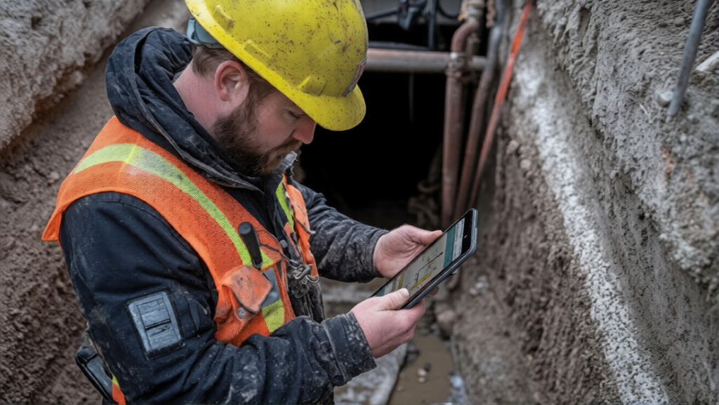
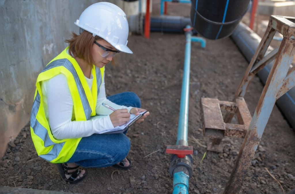
Underground Service Locating Surveys are used to identify and map utilities located underground. These services help engineers locate pipes, cables, and conduits before any digging or construction work begins.
Underground locating surveys use modern tools to detect the exact position and depth of underground assets. This information is collected and shared with project teams to help them plan safely.
Types of Underground Utilities Commonly Located
- Water supply pipes
- Sewer and stormwater lines
- Gas pipelines
- Electrical power cables
- Telecommunications and data cables
Accurate location of these services prevents damage and avoids expensive repairs later.
Why Underground Surveys Matter for Engineering Teams?
Engineering projects involve tight schedules, strict budgets, and significant safety responsibilities. Underground Service Locating Surveys support all three. Teams face serious risks without proper surveys. A single utility strike can shut down a site or injure workers and sometimes even cause legal issues. Surveys help engineers make informed decisions before excavation or drilling begins.
Key Risks of Skipping Service Locating Surveys
Skipping service locating surveys can result in serious risks. Some of them are listed below;
- Injury to workers and the public
- Damage to infrastructure
- Project delays with increased costs
- Regulatory or compliance issues
Engineering teams protect both people and progress by using underground surveys early.
Methods Used in Underground Service Locating Surveys
Modern surveys rely on advanced technology rather than guesswork. Different methods are combined to improve accuracy.
- Electromagnetic (EM) Locating
This method detects metallic utilities by sending signals through cables or pipes. EM locating works well for power lines, telecom cables, and metal pipelines as well. However, it is less effective for plastic or concrete services.
- Ground Penetrating Radar (GPR)
GPR sends radar waves into the ground and reads reflections from buried objects. It is commonly used for detecting non-metallic utilities and unknown services. Soil conditions and depth can affect results, but it is a powerful tool when used correctly.
- Combined Detection Approaches
Professional surveyors use multiple methods together. Combining EM locating and GPR improves reliability and helps confirm results, especially in complex environments.
Accuracy Levels & Industry Standards in Australia
Accuracy is a key factor that cannot be overlooked in underground service locating surveys. In Australia, surveys follow recognised standards that define confidence levels for utility data. These levels help engineers distinguish between estimated and fully verified services obtained through recognised survey methods, including complementary techniques such as drone and laser scanning surveys.
Accurate data collected from the survey helps engineering teams plan effectively around existing utilities. This improves coordination and overall project safety.
How Underground Service Surveys Support Engineering Projects?
Underground surveys provide value at every project stage.
| Engineering Phase | How Surveys Help |
| Planning & Design | Accurate utility mapping |
| Pre-Construction | Risk identification |
| Construction | Damage prevention |
| Asset Management | Reliable underground records |
Teams reduce rework and improve long-term asset management by integrating survey data early.
Integrating Underground Surveys with Other Surveying Services
Underground Service Surveys work best when combined with other professional services. Engineering surveying services in Australia include topographic surveys and infrastructure monitoring surveys.
Engineering teams get a complete picture of both surface and subsurface conditions when all survey data is coordinated. This integrated approach supports smarter decisions, especially on large or complex projects.
Choosing the Right Survey Partner for Engineering Teams
Not all survey providers offer the same level of expertise. Selecting the right partner can make a major difference in accuracy and reliability. In growing urban environments where underground infrastructure is dense and complex, experienced surveyors Melbourne engineering teams rely on play a vital role in delivering accurate underground service data that supports safe and efficient project execution.
Key Factors to Consider:
- Proven experience with Australian engineering projects
- Use of modern detection technology
- Compliance with safety and industry standards
- Clear reporting and easy-to-read deliverables
Firms like 2Survey provide integrated surveying solutions that support engineering teams from planning through construction.
Build with Confidence Below the Surface
Any project’s success depends on what you know before you dig. Underground service surveys give engineering teams the clarity they need to work safely and with confidence. These surveys play a critical role in modern project delivery, from protecting workers to preventing costly delays.
Engineering teams get access to accurate data and advanced technology by partnering with experienced professionals like 2Survey. Now is the time to invest in professional underground service locating surveys. This will help you build with certainty from the ground up if you are planning a project.
Ready to reduce risk and improve project outcomes? Contact a trusted surveying professional today and take the first step toward safer and smarter engineering.
FAQs
What is the purpose of an underground utility survey?
The purpose of an underground utility survey is to map and record buried services before excavation. This reduces safety risks and supports better project planning.
What type of technology is used in underground service locating surveys?
Modern underground surveys use electromagnetic locating and ground-penetrating radar. They even combine these two detection methods to improve accuracy.
What type of equipment is used for locating non-metallic pipes?
Ground penetrating radar is used for locating non-metallic pipes such as plastic or concrete services.
How can I hire professional underground utility locating services near me?
Look for licensed providers with experience and modern equipment. Reading reviews and reviewing past projects can help identify affordable underground service locating service providers.